The Hidden Waterfront Path Locals Use to Skip the Crowds

Quick Tip
Enter the trail behind the library on Mercille Avenue instead of the main park entrance to enjoy a quieter riverside experience with better parking options.
Saint-Lambert's riverfront gets packed on summer weekends—unless you know the back route. This post reveals the low-traffic waterfront path connecting the western end of Riverside Street to the Parc des Bordes extension, plus exactly where to park and when to go.
Where is the quietest waterfront walk in Saint-Lambert?
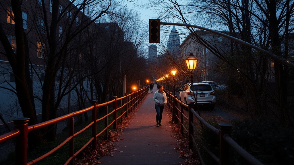
The quietest stretch runs from the dead end of Riverside Street West—past the marina—through the unpaved riverbank trail locals call "the backshore." You'll find it by driving past the main park entrance (don't turn in) and continuing until the road curves toward the water treatment facility. There's a small gravel lot. Ten spots, max.
The catch? It's not on Google Maps. Not officially, anyway. The city maintains it but doesn't advertise it—probably because there's no bathroom, no snack bar, and zero parking enforcement. That said, it's cleaned weekly (you'll see the truck Tuesday mornings) and the views beat the main promenade.
How do you access Saint-Lambert's hidden river path?
Access is straightforward if you know the landmarks. From Victoria Avenue, head west on Riverside until you hit the railroad underpass. Keep going. The road narrows. You'll pass Club de Yacht de Saint-Lambert on your left—don't park there, members only. Continue 200 meters to the gravel turnout just before the blue water treatment gate.
Here's the thing: the path splits immediately. Left goes to the rocks (shorter, better for photos). Right follows the tree line for nearly a kilometer before reconnecting with the paved waterfront at Parc des Bordes. Most people don't know about the right fork. You'll have it to yourself.
What the two routes offer
| Feature | Left Fork (Rocky) | Right Fork (Wooded) |
|---|---|---|
| Surface | Large stones, uneven | Compacted gravel, flat |
| Distance | 300 meters | 900 meters |
| Best for | Sunset photos, quick stops | Running, dog walking |
| Crowd level | Moderate (Instagram crowd) | Nearly empty |
| Shade | None | Full canopy |
What should you bring for this riverside route?
Bring water. Seriously—no fountains, no dépanneurs within a 10-minute walk. The path is deceptively simple (it's flat) but the summer heat off the St. Lawrence reflects hard off those rocks. A refillable bottle and maybe a hat. Bug spray in July—there's a marshy patch mid-trail where the mosquitoes don't mess around.
Worth noting: the rocks on the left fork get slippery. Not "be careful" slippery—"wear shoes with grip" slippery. Merrell Moabs or whatever you've got with Vibram soles. Flip-flops are a bad idea here.
Dogs love this path. The right fork especially—shade, rabbit scents, no cyclists (it's too narrow). Just keep them leashed past the 400-meter mark. There's a nesting area for bank swallows and Environment Canada monitors it through August.
Best time? Early morning (before 8 AM) or that golden hour window after 6 PM. The light hits the water differently here—low, warm, broken up by the willows. You'll see herons. Maybe a fox if you're quiet. And you won't have to circle for parking or dodge strollers on the main path. That's the real Saint-Lambert river experience—not the boardwalk, but this scrappy little trail the locals have been keeping to themselves.